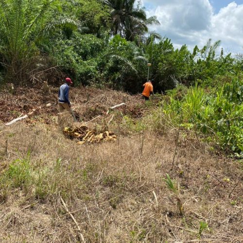
Topographical & Bathymetry Surveys
A topographic survey depicts the third dimensional aspect of the earth’s surface called ”relief.” Topographic surveys also depict the location of natural and artificial objects thereon, and the identification of specific landforms such as exposed ledge, wetlands and bodies of water. Typically, the topographic survey is a compilation of necessary data to be utilized by the design team at the forefront of project design and development.
Bathymetry, the underwater equivalent to topography, is the study of the underwater depths of waterways, lakes or ocean floors. We obtain information along shorelines, providing data to facilitate the permitting process and often work with engineers, construction companies, dock designers etc. to provide off-shore elevations for various projects.

